2021–2022 · Mississauga GIS project
Community Garden Site Analysis
Finding a place for a community garden
A possible garden site is more than an empty patch on a map. I used open data and spatial analysis to compare locations against the project’s criteria.
My part
I analyzed open data, organized geographic information in GIS databases and explained site-selection findings through maps and reports for city mentors and the project team.
Working with the data
The work combined statistics with spatial mapping. Shared criteria gave us a way to compare sites; the maps made it easier to see why their locations mattered.
What came out of it
The project produced analysis, maps and reports. It was a GIS project with city mentors, not City employment. I don’t have evidence that a recommendation was adopted.
What remains online
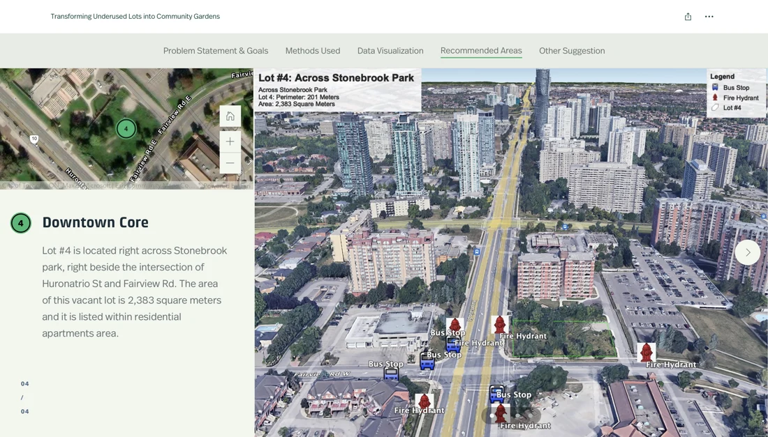
The original StoryMap is offline. The map shown here comes from the project archive. It provides context without pretending to be an interactive map.
The tradeoff
A map makes a comparison visible, but the result still depends on the criteria and source data. The deliverable was a reasoned comparison of sites, not a guarantee that a garden would be built.
If I revisit the analysis
I’d publish a compact methods note with source dates, criteria and sensitivity to the choices. That would make the comparison easier to revisit when the underlying data changes.
Continue under the hood
Make the comparison explainable
Three questions I would put beside the map
- Where did each layer come from, and when was it collected?
- Which criteria change the order of candidate sites?
- What still needs a site visit or a conversation with the people using the space?
These are a proposed methods note for revisiting the work. The surviving archive supports maps, analysis and reports; it does not establish a city implementation or a measured community outcome.